
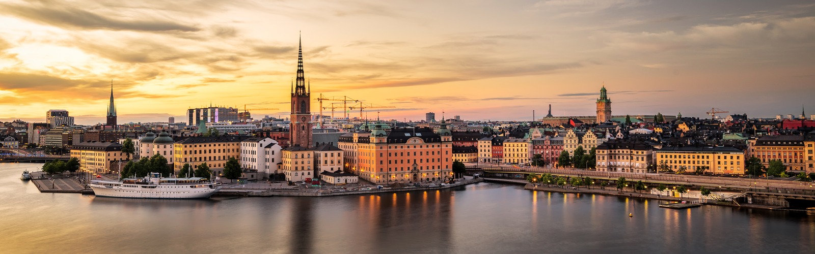
Maps of Stockholm
Stockholm is built on fourteen islands where Lake Mälaren drains into the Baltic, so the quickest route between two points is rarely a straight line. The maps gathered here help you work out which bridge, metro line or ferry gets you where you want to go.
Every map opens in full size and can be printed or saved as a PDF for offline use. Each page also explains what the map shows, how old it is when that matters, and practical tips for using it on the ground.
All Stockholm maps
- City
- Neighborhood
- Postcode
- Street
- Transport
- Metro
- Tram
- Train
- Airport
- Bus
- Bus tour
- Touristic
- Walking
- Topographic
- Old
Getting around comes first: the SL rail network map brings the metro, commuter trains, trams and light rail together on one sheet, and separate pages cover buses, Arlanda and the other airports. Since 2017 one SL fare covers the whole of Stockholm County, and a single ticket is valid for 75 minutes.
For sightseeing, start with the inner-city and Old Town maps, then the attraction, Skansen and sightseeing-route maps for Djurgården and the waterfront.
The district, postcode, road and elevation maps are more specialised, and the historical plans show how the city looked before the modern centre was rebuilt.